RUS
RUSScanIMAGER program complex designed to handle the results of three-dimensional laser scanning applied to architectural measurements. It has a modular design and comes in different modifications.

ScanIMAGERmodule is designed for data processing of three-dimensional laser scanning (points
of cloud). Unique feature of a product is visualization of a huge number of
measurements (billions of points) in combination with opportunity to display
color of the measured point, that allows to perceive the discrete data as
three-dimensional model. Also, the
application provides the necessary tools for the removal of various sizes,
producing cross sections, sections, calculate volumes, creating ortho-photos
and planar views of curvilinear surfaces.


. Точечная чернобелая модель.")
. Точечная совмещенная модель (разрез).")
. Цветной ортофотоплан")

ScanIMAGER Ortho module carries a powerful tool for processing ortho-photos and curvilinear surface’s planar views. It allows you to create the highest resolution of ortho-photos and color them by set of images obtained from digital cameras. It has different graphics filters aimed at identifying construct of object, together with integration with AutoCAD. All this module allow to facilitate the process of creating measurement documentation considerably.


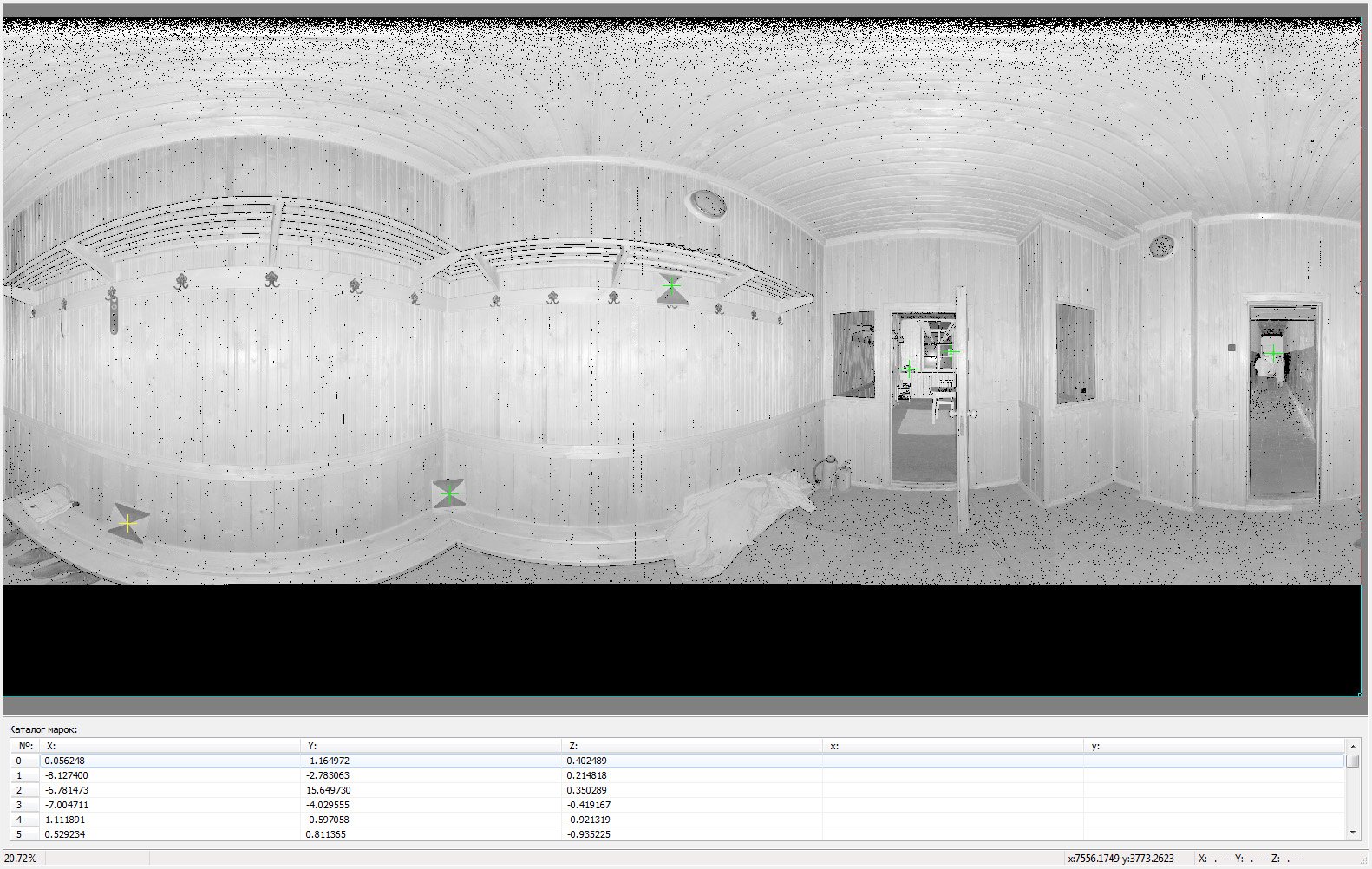
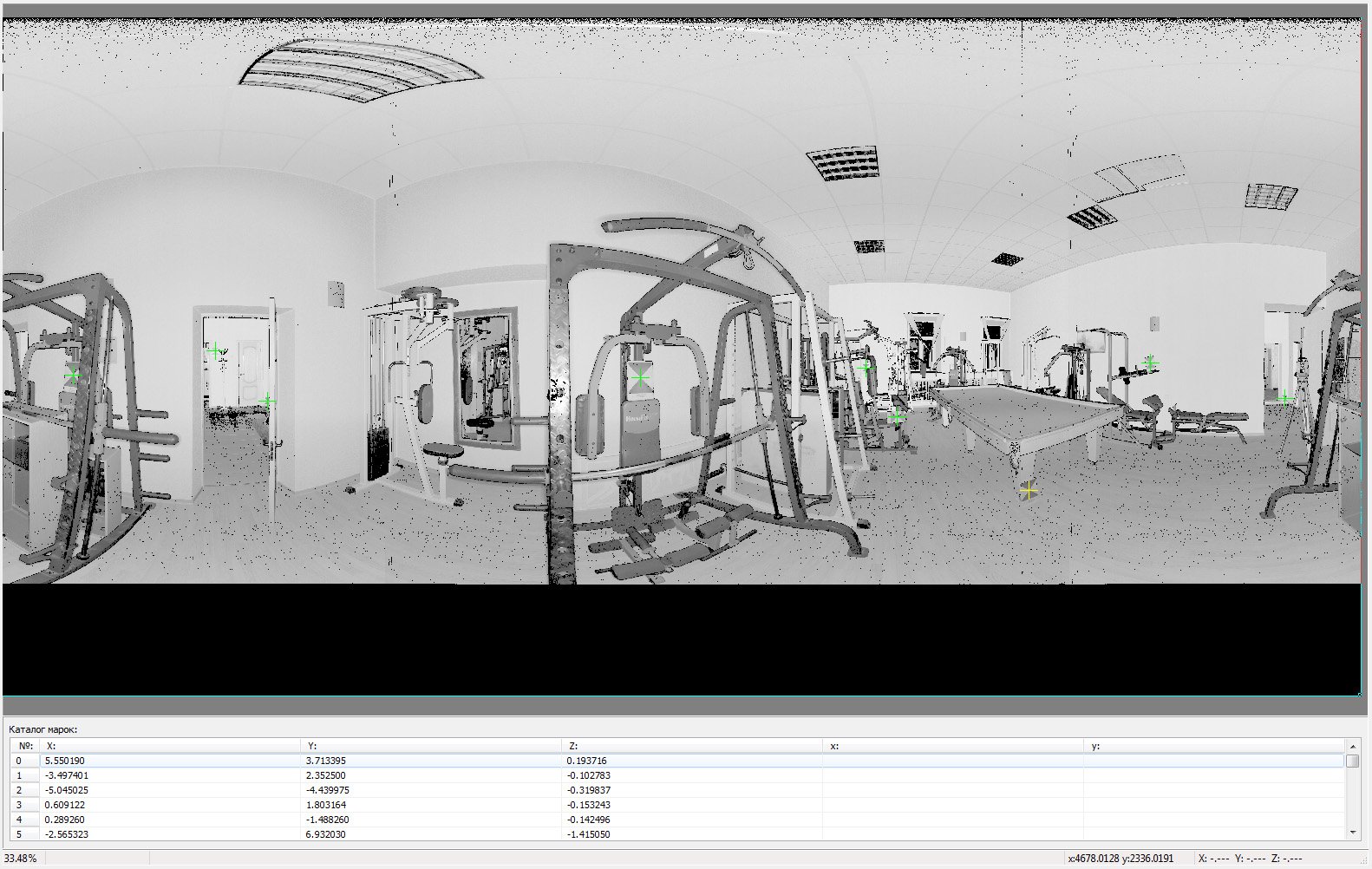
TheScanIMAGER Register module is intended for registration (convergence in a
single system of coordinates) scans. Module allow to automatic recognize
special targets (marks) on the scans, to identify relevant marks in different
scans and to reduce scans in a single system of coordinates or block, based on
the revealed identification. Also there is the possibility of automatic
binding of formed block or each scan in geodetic system of coordinates using
control points. The module contains the necessary tools for the control of
gross errors, measurements of marks and, if necessary, there is the possibility
to manually add tie points.

ScanIMAGER Converter module is designed for conversion directories of points from exchange formats to the internal SPF format of the ScanIMAGER complex program. The module allows to create tasks for batch processing of files. It supports different exchange formats in text and binary types. During processing of files it creates planar views of scans and recognizes marks on them.
The
ScanIMAGER program complex is distributed in different modifications. Read more
about functional capabilities in Configurations.